Touring New Zealand

New Zealand map
November 5,
2002
We arrived in Opua in the Bay of Islands on
the North Island and checked into the country after an eight day passage from
Tonga.. The New Zealand Customs and
Immigration Services are very efficient and, upon arrival, they directed us to
a floating dock which was isolated from the rest of the marina. They boarded us and searched for and
confiscated any food or material that wasn’t allowed. They made a great first impression on us as they were the most
polite and understanding government officials we’d met to date. Just about anyone arriving here by boat had
been at sea for a week or more, so it’s a joyous landfall made even better by
the kind attitude of the first people you meet. Coming down from Tonga, we began to see the outline of New
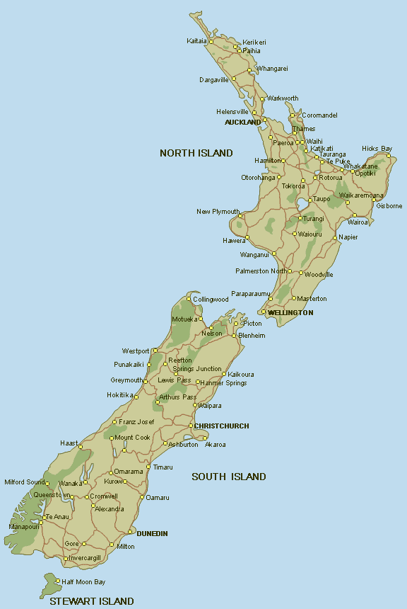
Zealand’s northern Cape when we were still about 50 miles away. Later, on a road trip, we visited Cape
Reinga and we took the photo below.
This is the point where the Tasman Sea meets the Pacific Ocean. Click on the photo (or any photo on the
website for that matter) and you will see a larger image. Once it has exploded open, on many of the
photos, you can click again on the magnifier icon in the lower right corner and
it will give you even greater detail.
Cape
Reinga- the northern most part of New Zealand
November 11,
2002
On the New Zealand map above, Opua is next
to Paiha on the very northeast tip of the North Island. We stayed in Opua for almost a week before
heading south to Auckland. The Louis
Vuitton Cup racing, the prelude to the Americas Cup, was underway and we wanted
to get there for the festivities. We
took a leisurely sail south to Auckland.
But, we were hit by a gale just as we approached the entry to Whangarei. The jut of land there is called Bream’s Head
and it has notoriously rough and difficult seas whenever the wind is blowing at
gale force levels. We can attest to
this! So, we took refuge around the
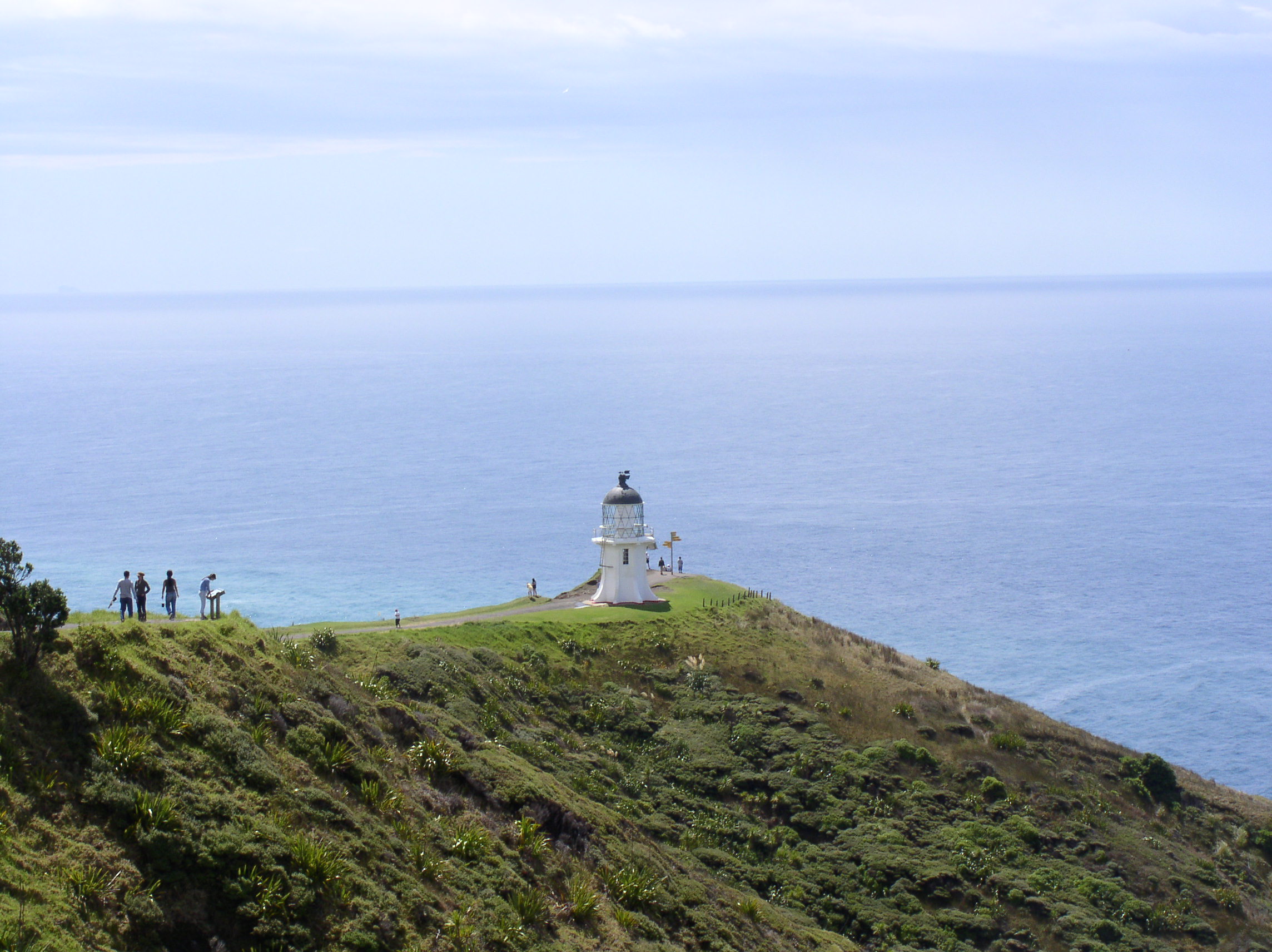
hook of land at Urquhart’s Bay and waited overnight for the wind to subside. The next day, we sailed south in calm waters
and light winds past the Hen and Chicken Islands to Kawau Island and our first
look at the Hauraki Gulf.
.
Hen and Chicken Islands on
the way to Auckland
November 14,
2002
After spending the night anchored at Kawau
Island (near Warkworth on the map), we sailed down to Auckland and Bayswater
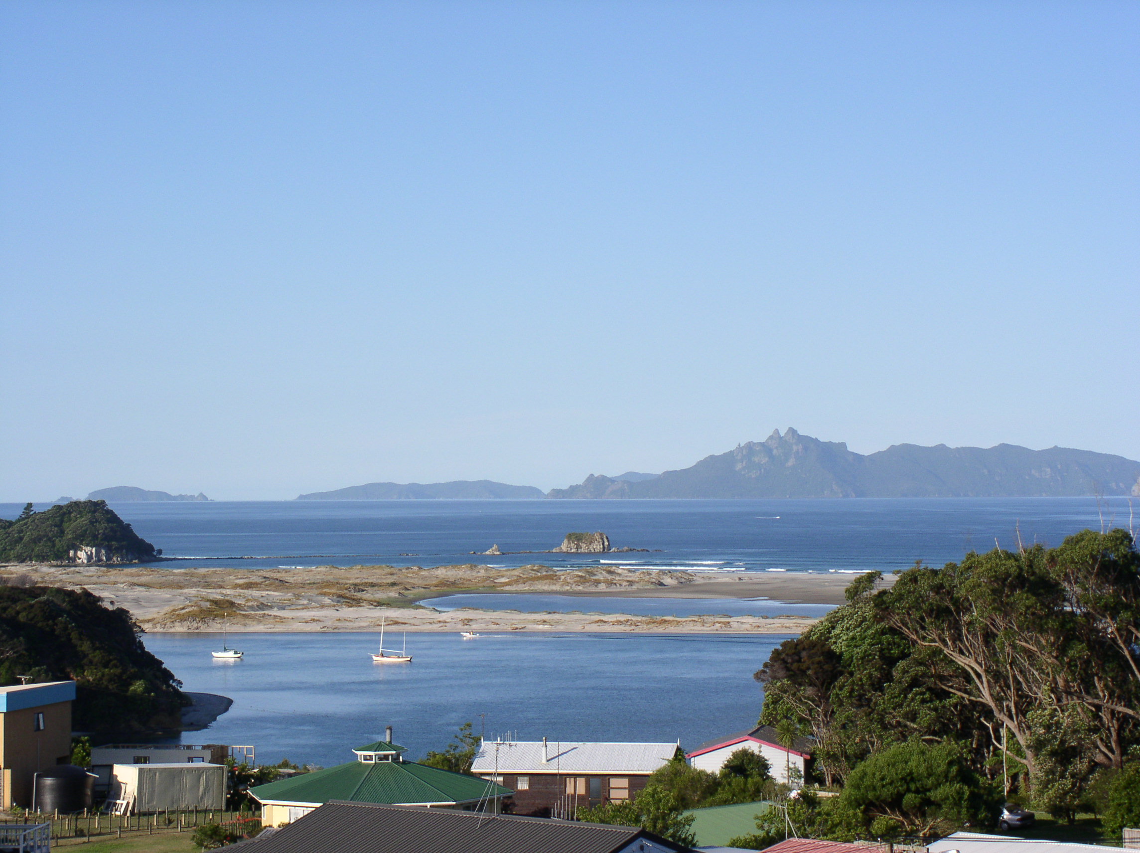
Marina. We passed many spectator boats coming
out from Auckland for the day’s Louis Vuitton Cup racing. Among the megayachts, we saw Larry Ellison’s
(Chairman and CEO of Oracle) 244 foot motor yacht Katana. For anyone that’s interested, she’s now for
sale and can be yours for a paltry $68,000,000!
Katana going out to watch
the races
We arrived at Bayswater just after noon and
settled into our slip where Final Straw has been for over a year. This became our home away from home and
we’ve really enjoyed having all the conveniences again after spending eight
months at sea. We appreciate even more
how nice it is to go to a grocery store or a nearby restaurant or a movie once
we arrived here. It was a pretty
comfortable and scenic spot.
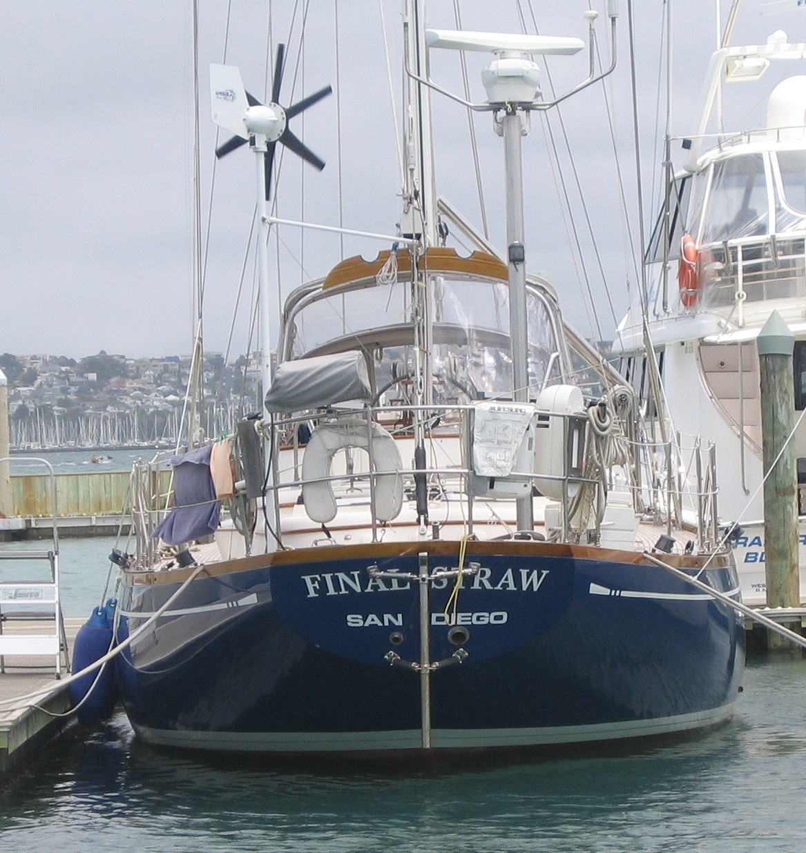
Our slip at Bayswater Marina
November 15,
2002
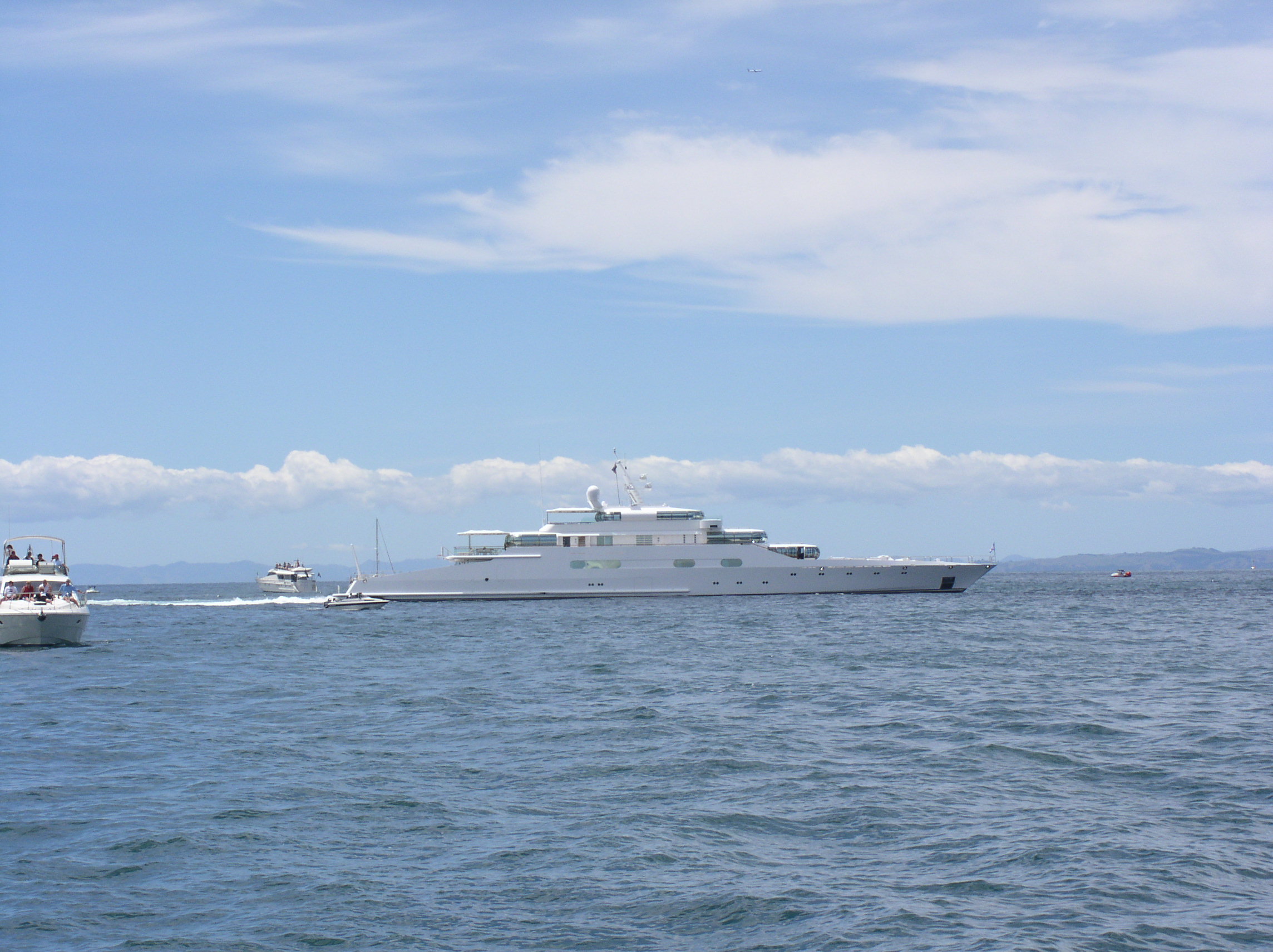
Bayswater
Marina is located just across Auckland Harbour from the city. It has a convenient ferry service that goes
from the marina to the downtown area every hour. We had spectacular views of the city right from our slip. One of the other amenities here was free
internet access. There’s a lounge for
the yachties (as they call us here) that had several PC’s or you could use a
new wireless internet system and have
high speed access right from your boat.
We used the latter and transmitted our signal direct from the computer
on Final Straw to an antenna about 50 meters away. From there it went to the marina’s office server and the server
sent the signal across Auckland Harbour to the Sky Tower where it connected
into the internet. Pretty high tech!
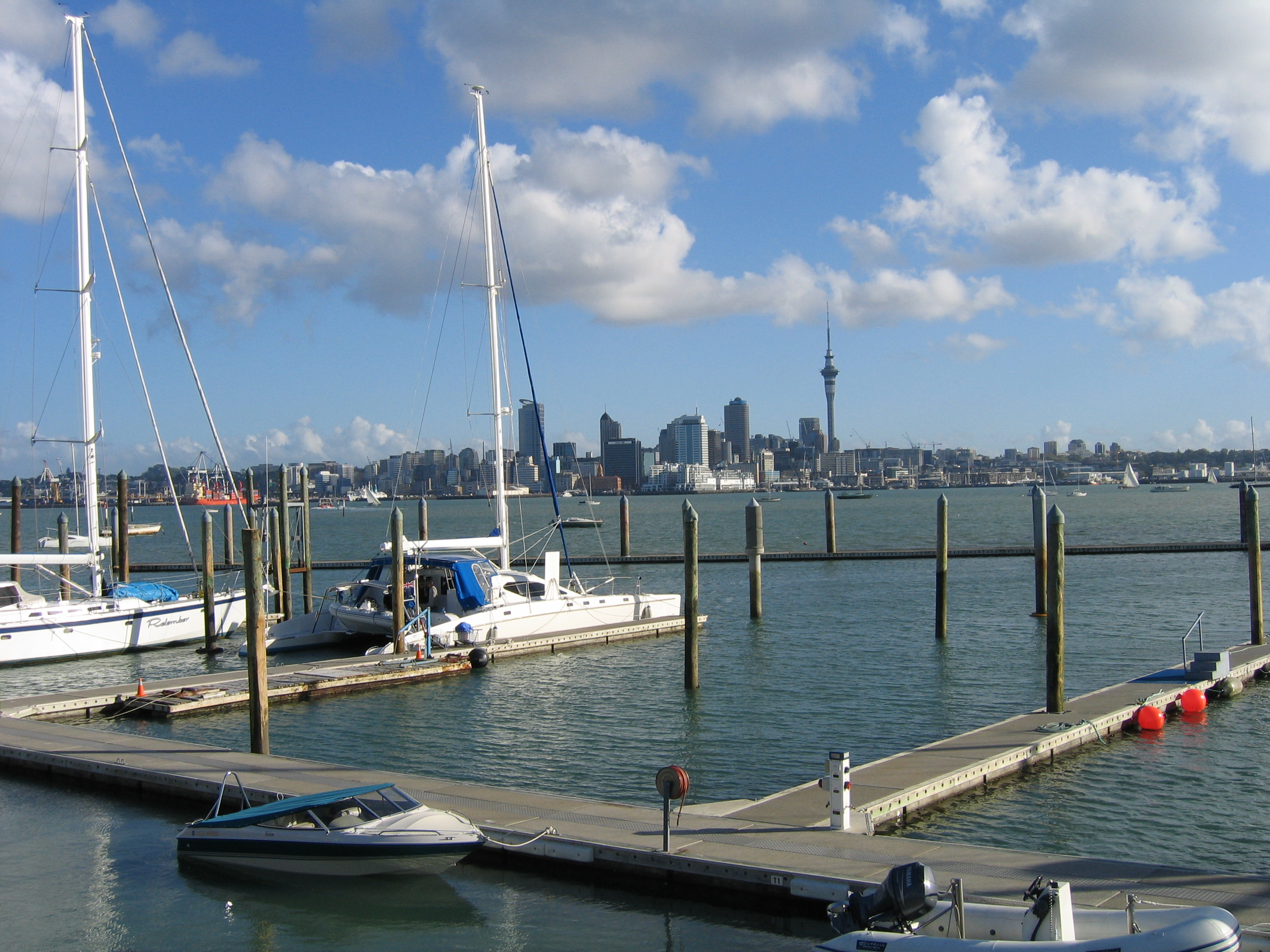
A view of Auckland from our
pier
December 15,
2002
Bayswater is located on the north shore of Auckland
between the towns of Takapuna and Devonport.
During the year we stayed here, we got to know the area pretty
well. We bought a car and had
transportation to travel around New Zealand to our heart’s content. The photo below shows a view of Cheltenham
Beach from North Head, a park that overlooks the town of Devonport. This view is looking north at the Hauraki
Gulf and Whangaparaoa Penninsula out in the distance. The Americas Cup yacht racing was held in the area just to the
right of the picture below.
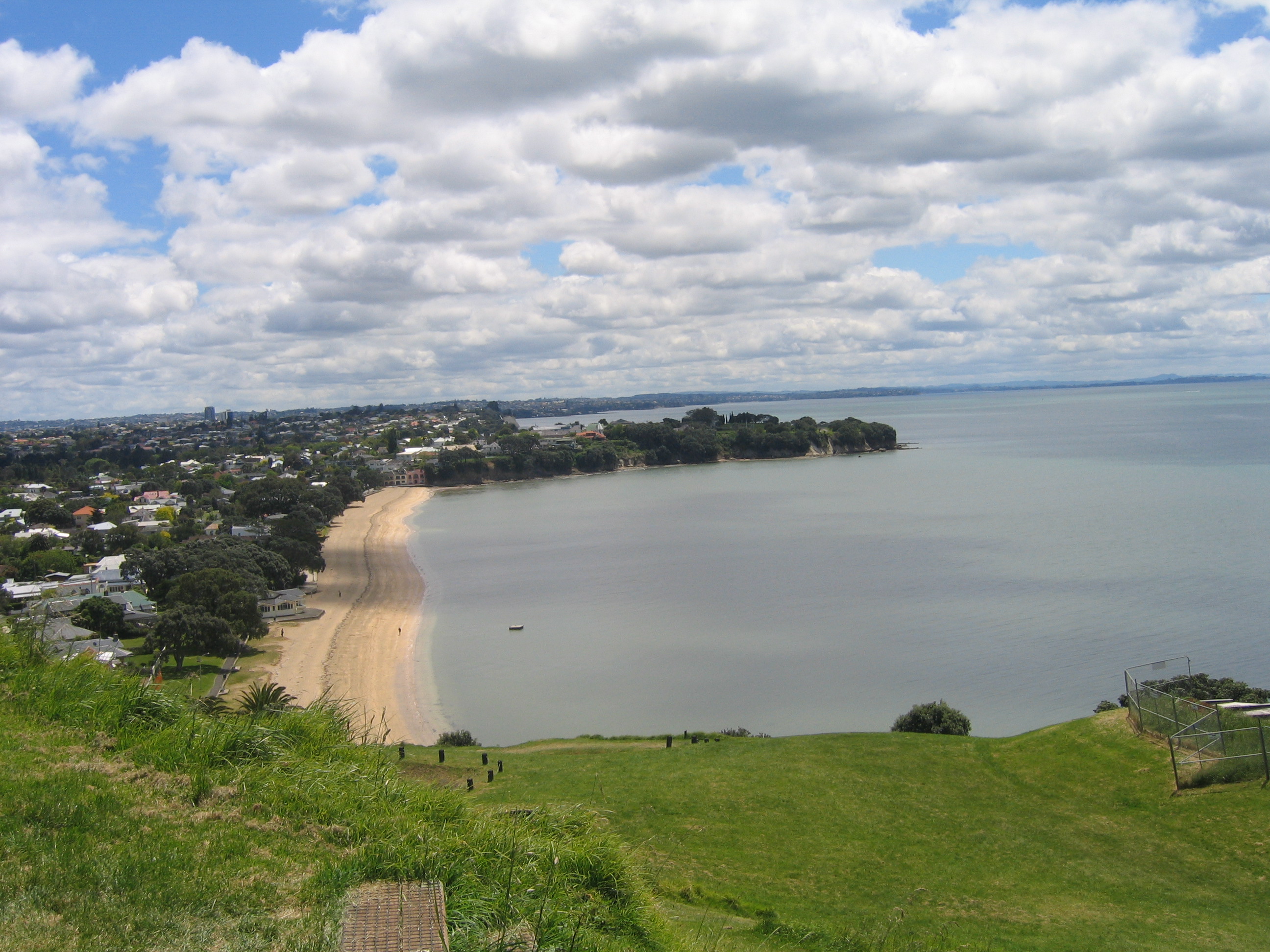
Cheltenham Beach in
Devonport
During this timeframe, our attention turned
towards the 2002 Louis Vuitton Cup, which was already underway, and the
Americas Cup races that would begin just after the new year.
To read more about watching the races and
visits outside of Auckland, click here.
To return to the
home page, click here.